
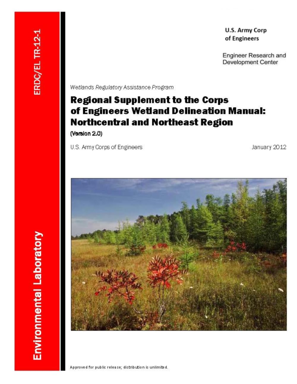
Regional Supplement to the Corps of Engineers Wetland Delineation Manual: Northcentral and Northeast Region (Version 2.0)
Product details
| Management number | 237091047 | Release Date | 2026/07/10 | List Price | US$9.69 | Model Number | 237091047 | ||
|---|---|---|---|---|---|---|---|---|---|
| Category | |||||||||
A detailed technical reference for wetland delineation in the Northcentral and Northeast Region.This regional supplement provides practical, region-specific guidance for identifying and delineating wetlands across the Northcentral and Northeast United States. Designed for use with the Corps of Engineers Wetland Delineation Manual, this volume addresses the climate, soils, vegetation, hydrology, glacial landforms, and wetland types that shape wetland determinations in this diverse region.The Northcentral and Northeast Region includes all or portions of Connecticut, Illinois, Indiana, Maine, Massachusetts, Michigan, Minnesota, New Hampshire, New Jersey, New York, Ohio, Pennsylvania, Rhode Island, Vermont, and Wisconsin. The supplement reflects the region’s distinctive conditions, including cold snowy winters, short growing seasons, seasonally frozen soils, glacially sculpted landscapes, hardwood and conifer forests, Great Lakes shorelines, Atlantic coastal systems, peatlands, bogs, fens, swamps, marshes, wet meadows, vernal pools, and floodplain wetlands.Inside, readers will find technical procedures for evaluating the three major wetland factors: hydrophytic vegetation, hydric soils, and wetland hydrology. The book explains how to assess plant communities using rapid tests, dominance tests, prevalence index calculations, and morphological adaptations. It also provides guidance for identifying hydric soil indicators, interpreting wetland hydrology evidence, and working through difficult field conditions where standard indicators may be seasonal, altered, obscured, or absent.This volume is especially useful for environmental consultants, wetland scientists, soil scientists, engineers, land planners, regulators, students, survey professionals, and property owners who need a deeper understanding of wetland delineation practices in northern, northeastern, and Great Lakes landscapes.Topics include:Hydrophytic vegetation indicators and vegetation sampling methodsDominance test and prevalence index proceduresMorphological adaptations in wetland plantsHydric soil indicators for all soils, sandy soils, and loamy/clayey soilsOrganic soils, muck, peat, mucky peat, redox features, gleyed matrices, and problem soilsWetland hydrology indicators, including surface water, high water tables, saturation, water marks, drift deposits, aerial imagery, aquatic fauna, moss trim lines, reduced iron, crayfish burrows, microtopographic relief, and geomorphic positionRegional wetland types including forested wetlands, bogs, fens, shrub swamps, freshwater marshes, salt marshes, wet meadows, lake-fringe wetlands, Great Lakes coastal wetlands, floodplain wetlands, and glacial kettle wetlandsDifficult wetland situations involving agriculture, silviculture, disturbed sites, problematic vegetation, problematic hydric soils, missing hydrology indicators, and wetland/non-wetland mosaicsAppendices with glossary material, sampling procedures, and field data formsWhether used in the field, classroom, office, or regulatory review process, this book offers a detailed framework for understanding wetland indicators in the Northcentral and Northeast Region. Read more
| ASIN | B0H4CKX53G |
|---|---|
| ISBN13 | 979-8180405197 |
| Language | English |
| Publisher | Independently published |
| Dimensions | 8.5 x 0.4 x 11 inches |
| Item Weight | 1.16 pounds |
| Print length | 175 pages |
| Publication date | June 6, 2026 |
Bestseller ranking
Earthwork Design




Customers who viewed this product also viewed
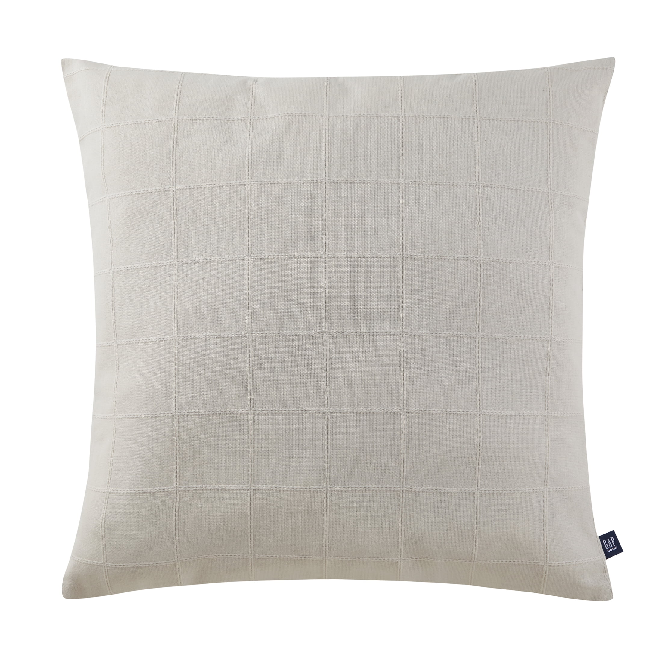
Gap Home Decor at Walmart
Correction of product information
If you notice any omissions or errors in the product information on this page, please use the correction request form below.
Correction Request Form